|
Drone-based mapping intelligence for forestry
Our Mission
Verticalized Mapping Intelligence
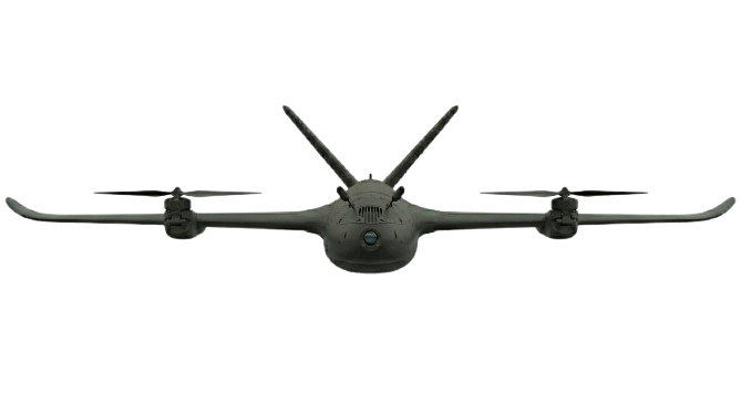
We build autonomous VTOL drones that produce high-accuracy 3D forest inventories for timber companies, delivering actionable biomass and inventory estimates that plug directly into harvest planning workflows.
Today, timber operators rely on expensive manned LiDAR flights that cost thousands of dollars per hour. Our purpose-built autonomous drones collect dense 3D vegetation data on demand, making routine inventory updates economically practical and enabling better harvest decisions.